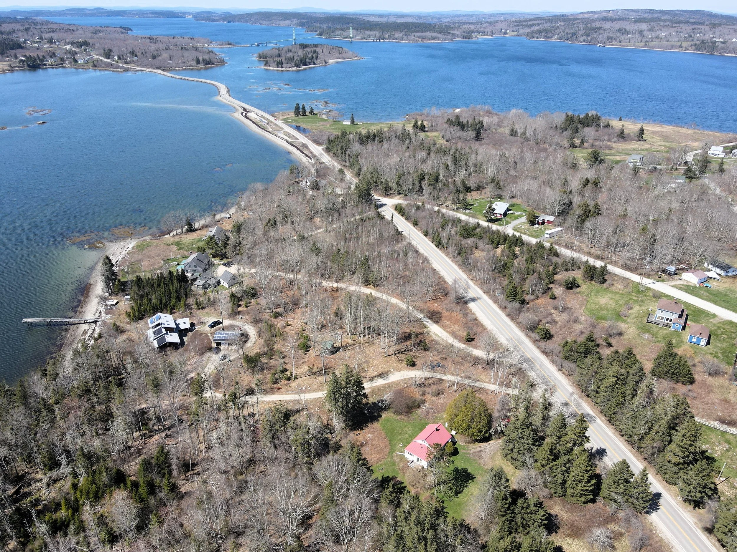
GIVE YOURSELF PEACE OF MIND WITH AN EYE IN THE SKY
Our comprehensive array of aerial monitoring and photography services, provide any professional with views and a level of oversite otherwise unattainable. Whether you're preparing a portfolio for new listings, conducting property assessments or just need reassurance that a project is on it’s way to completion as scheduled, our resources provide the precision and insight you need to stay on top.
Our Services
SKY-SNAP SESSION
Our Sky-Snap services provides one-time photography sessions that include; High resolution Images of the area of focus, from a minimum of four different directions. This package allows professionals to showcase their work, add to a listings portfolio, or get an idea of property conditions at the time of flight.
ROUTINE FLY-OVERS
Our Routine Fly-Over service caters to property owners as well as professionals, offering regularly scheduled weekly aerial inspections geared towards making sure projects on schedule, monitoring potential encroachments by neighbors, and other updates regarding the condition of your property. our images will give you oversight like never before.
FLIGHT REPORTS
Flight Reports is our premium service geared largely towards land use professionals. Setting up exhibits for public hearings or the courtroom can take time and effort, this service will provide you with clearly labeled images meant for an audience or regulatory review. We will work closely with you and your team to make sure that all of your needs are met prior to these high pressure situations.
About
our company
In an industry that moves at a rapid pace, keeping a watchful eye on your property can be a difficult, but not impossible task. Our drone-powered business will provide you with high resolution photographs and videos that offer a comprehensive view of land parcels and developments, making it easier to illustrate zoning cases, property lines, and potential usage as well as offering stunning images that will have buyers clamoring for more information!


